

Home page
» GEOGRAPHY
» Historical geographical territory
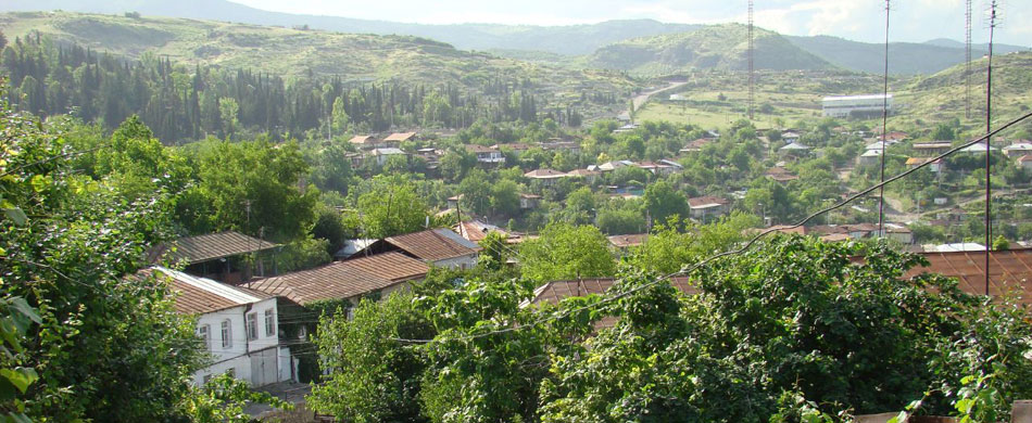
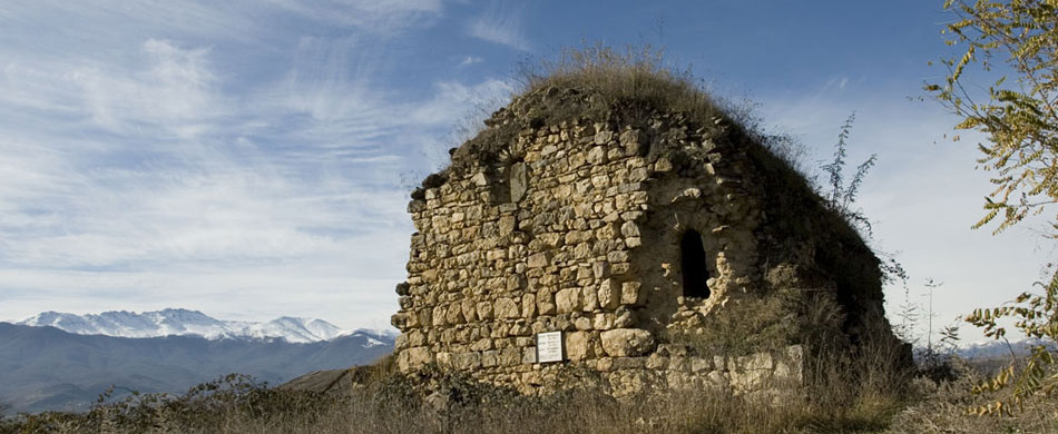
Historical geographical territory 
 Mirza Jamal who was vizier of Garabagh khan Javanshir (1773-1853) in "History of Garabagh" (1847) work while narrates about the historical and geographical area of Nagorno-Karabakh, writes: "According to the ancient history books the border of Nagorno-Garabakh region is: from the south from the bridge of Khudaferin to Sinig Bridge is Araz River. Now (Sınıqkorpu) is among Kazakh, Shamsaddin and Demirchi-Hasanli community and the officials of the Russian state called it "Krasnı most, i.e, the Red bridge. From East is the river Kur, which joins the Araz River in Javad village, and then flows into the Caspian Sea. On the north the border of Garabakh till Yelizavetpol (Ganja) is up to the river Kura – Goran River and the Kura River passes from many places and reaches the Araz River. From the West is high Garabagh Mountains Kusbak, Salvari and Arikli. During the first period of Russian occupation and colonialism such status of the territory of Garabagh and its borders are confirmed with fact that:
1) the fact is written by the man who directly engaged in governing of Garabagh; 2) this fact is not based only on the experience but sources. To show the accuracy of the position of Mirza Jamal his referring to ancient history books is not accidental. These facts prove that the Nagorno-Garabagh region is historical Azerbaijan area from ancient times. 
|
